
The Canadian Arctic Remains Dangerously Unmapped
Arctic waters are increasingly ice free, but a lack of seafloor mapping means navigating the region is still risky.
Article body copy
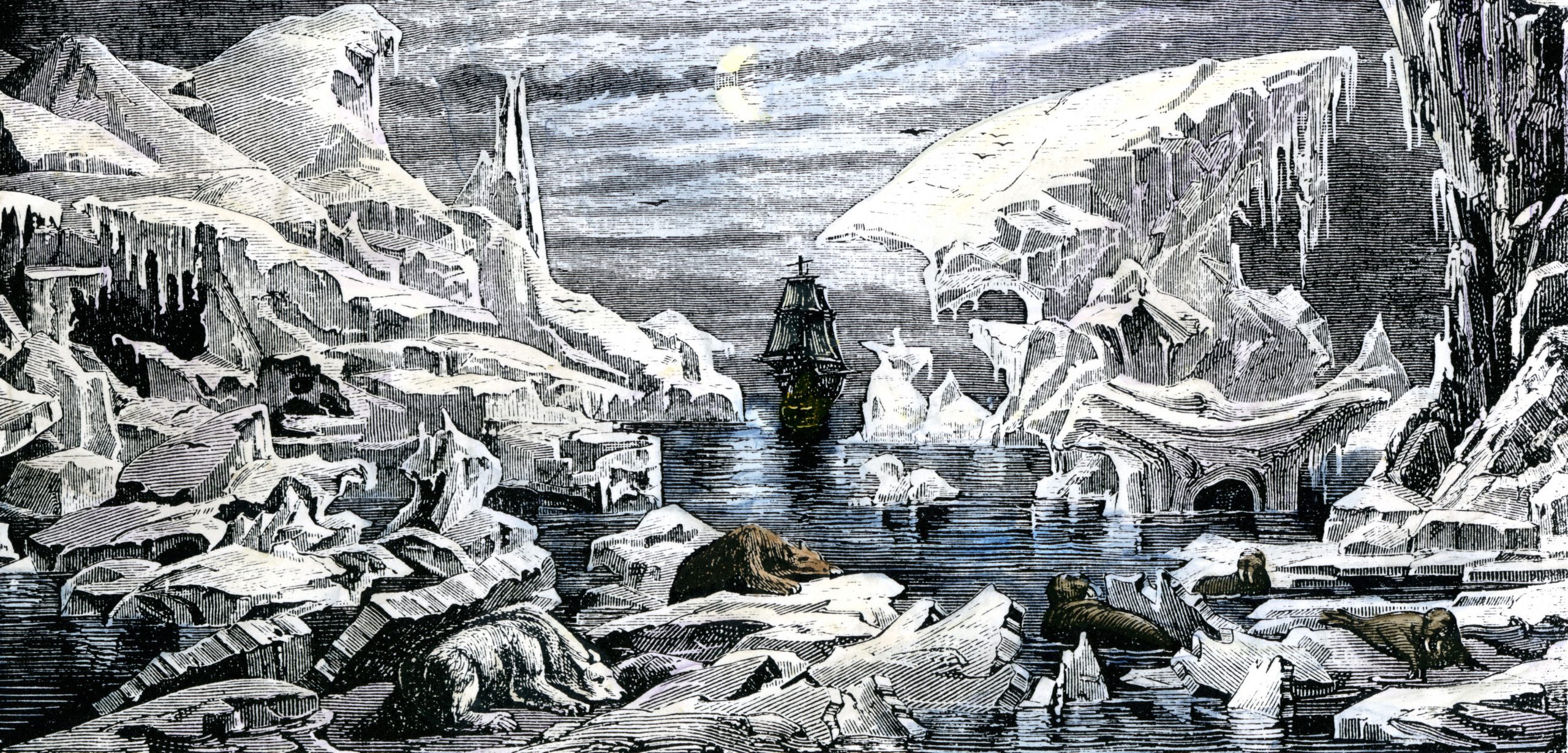
The numbers are daunting. Canada’s share of the Arctic includes 36,000 islands and more than two million square kilometers of ocean, including the fabled Northwest Passage, which winds between islands, over undersea ridges, and through narrow passages often choked with ice. Every year, as the ice melts, more ships—tugs and barges, research vessels, pleasure boats, the odd cargo ship or tanker, and a growing number of cruise ships—are heading north. In 2016, a cruise ship carrying 1,700 people is due to traverse the Northwest Passage.
But just because the ice is melting it doesn’t mean the waterways are safe. The federal Canadian Hydrographic Service (CHS) is responsible for mapping Canada’s waters. So far, they’ve only managed to map roughly 10 percent of Arctic waterways in accordance with international standards.
At the current level of surveying, ships can sail Canada’s section of the Arctic Ocean with reasonable confidence, says Andrew Leyzack, CHS’s hydrographer-in-charge. But the key, he says, is that ships need to use CHS-approved charts and stick to designated “marine corridors.” He compares leaving the corridors to going off a two-lane highway and following a dirt road that isn’t mapped or maintained.
Yet every year boats leave the highway, and some run aground or get into other kinds of trouble. It’s hard to control risk-taking, Leyzack says: “How do you stop people from walking into traffic?”
The shortage of accurate seafloor maps—and the limitations on safe travel—is a problem that will likely persist for a long time.
Mapping the Arctic is neither easy nor cheap. The hydrographic service uses sound and light to map the seafloor: single- and multi-beam sonar deployed from ships and a laser-based system called lidar operated from planes. Data collection has to be squeezed into a few weeks of open water, and success comes down to ice and weather conditions, says Leyzack.
To make the best use of time and money, the CHS concentrates on the high-traffic marine corridors. Within these corridors about 32 percent of the corridor area is adequately surveyed—but it will take decades to bring the rest up to international hydrographic standards. Even with a hefty increase in funding, Leyzack estimates the work would take more than a decade.
To eke out its resources, the CHS makes clever use of partnerships. Leyzack worked on the successful multiyear search for the lost ships of the Franklin expedition, feeding bathymetric information collected during the search into the CHS database. ArcticNet, a major Canadian research project, contributes data to the effort, and five Canadian icebreakers are being outfitted with survey equipment.
“It all depends on resources,” Leyzack says. “How many ships can we put in place? How much data can we collect?”