
Satellite Observations Enhanced with Inuit Knowledge Chart a Changing Arctic
By incorporating traditional ecological knowledge into how he interprets satellite imagery, this scientist is giving his community sea ice news they can use.
Article body copy
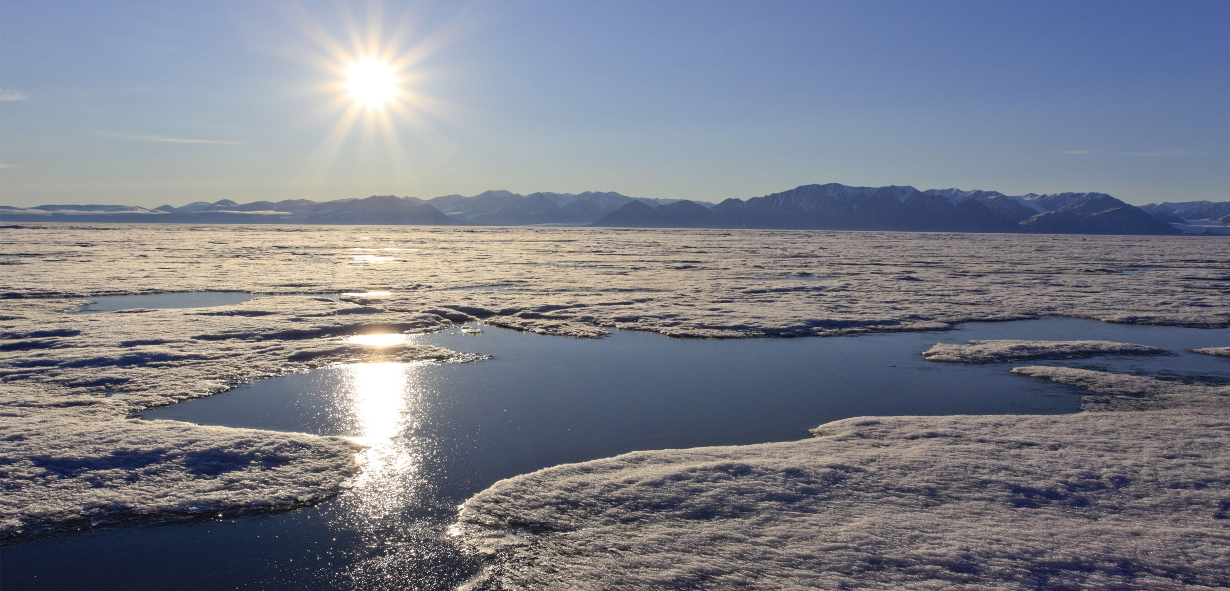
As winter descends and the sea freezes along the northern coast of Baffin Island, Nunavut, Andrew Arreak prints out the latest version of his ice map and heads into town.
A researcher and member of the Inuit community in Mittimatalik (Pond Inlet), Arreak’s annotated satellite images, which he posts every week in supermarkets and community buildings and distributes by email to friends, hotel owners, and hunters, reveal through color-coding where the ice is currently safe for travel, and where it remains thin and dangerous.
“Young guys or hunters are eager to be out there, to be the first ones to be on the ice, to be the first one to harvest the seal,” Arreak says. “It helps them plan their trip.”
The weekly maps put out by the SmartICE sea ice monitoring and information service, where Arreak works, offer an unexpectedly detailed look at the sea ice conditions in the region.
Typically, determining the thickness of sea ice from satellite images alone is difficult, if not impossible. But over the past three years, Arreak has been working with other sea ice researchers to assemble a new atlas capturing historical sea ice trends around Mittimatalik. In a case of orbital data gathering meets Inuit knowledge, Arreak and his colleagues drew on the knowledge and insight of community members to carefully interpret thousands of satellite images covering 23 years of annual sea ice break-up and freeze-up.
By scouring conditions recorded between 1997 and 2019, the team made digital maps showing normal sea ice activity for particular weeks of the year. The result is an atlas that reveals, in minute detail, how the ice tends to wax and wane, right down to specific inlets and bays.
The data gleaned from this work provides a baseline understanding of how sea ice behaves in this part of the world. That research helps Arreak produce his weekly maps showing how the ice may be deviating from past norms.
Katherine Wilson, a doctoral candidate in geography at Memorial University in Newfoundland and Labrador who coauthored the paper, extolls the value of Arreak’s traditional Inuit knowledge. “He was able to pick out in great detail each week where it was breaking up [and] where it was freezing up,” she says. “I could have never done that even though I’ve been looking at satellite imagery for over 20 years.”
Arreak says that while many people in his community know the ice well, not everyone does. That knowledge is also currently at risk, he adds, partly because of climate change, and partly because of societal changes associated with colonialism. “Not every teenager has a father figure who can show them the ropes,” he says. This is partly what prompted the Sikumiut, a local committee of Inuit sea ice users, to ask for the weekly updates.
The atlas project has yielded several important insights. For one, it suggests that over the past 10 years sea ice is breaking up earlier in the year than in the previous period. It also revealed that the first two weeks of November are critical for the formation of fast ice, which lines the coast. Arreak and his colleagues argue in their paper that icebreaking intended to support increasing shipping activity at that time of year “would compromise the integrity of the sea ice for safe travel, wildlife migration, and [wildlife] reproduction into the winter months.”
“People in this region are out on the land much more often than we are in urban centers or in the south,” says Jackie Dawson, a geographer at the University of Ottawa in Ontario. Dawson was not involved in the atlas project, but has worked with some of the members of SmartICE in the past.
It’s this lifestyle, Dawson says, that makes having detailed information about the ice so important. And it’s a level of detail that wouldn’t have been possible without the close collaboration of the Inuit community, something Dawson praises:
“I think it’s the way of the future for science,” she says. “I think it’s going to make our science better.”