
The Audacious Scheme to Reroute India’s Water
Scientists are watching with concern as India prepares to break ground on a long-delayed plan to connect the country’s rivers.
Article body copy
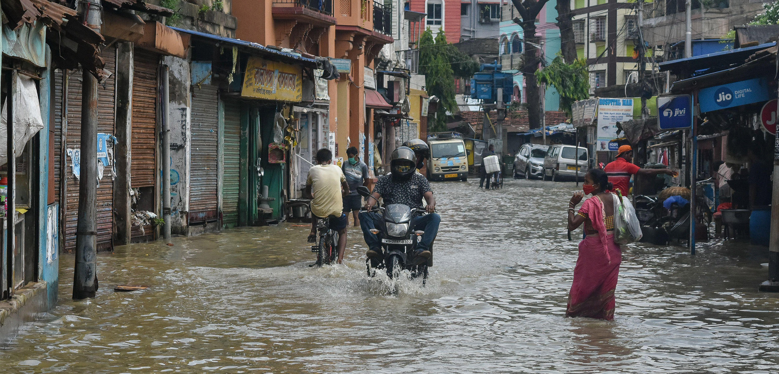
In India, severe water shortages in one part of the country often coincide with acute flooding in another. When these dual tragedies occur, Indians are often left wishing for a way to balance out the inequities—to turn one region’s excess into a salve for the other.
Soon, they may get their wish.
India is about to launch a vast engineering project—more than 100 years in the making—that will connect several of the subcontinent’s rivers, transforming the disparate flows of neighboring watersheds into a mega–water grid spanning from the Himalayas to the Arabian Sea and the Bay of Bengal.
Fully realized, the National River Linking Project will see India’s National Water Development Agency dig 30 links that will transfer an estimated 200 billion cubic meters of water around the country each year. That’s almost twice the amount of water that flows down British Columbia’s Fraser River annually. The goal is to help irrigate tens of millions of hectares of farmland and bolster India’s hydroelectric power generation. With an estimated price tag of US $168-billion, the project is “unique in its unrivaled grandiosity,” experts say.
Similar—though less ambitious—water transfers happen in other parts of the world. China’s South-to-North Water Diversion Project will eventually carry 45 billion cubic meters of water each year across more than 1,000 kilometers. And in Sri Lanka, where water is diverted from the Mahaweli Ganga river basin, people have benefited from improved food security and higher incomes, says Upali Amarasinghe, a data scientist with the International Water Management Institute in Sri Lanka. India’s river-linking project could have some financial benefits, Amarasinghe says, but his calculations suggest they will come at the cost of displacing an estimated half a million people and submerging vast tracts of land.
The project is already underway. India’s government has “accorded it top priority,” says Bhopal Singh, director general of India’s water agency. The government has obtained clearances for the first link in the grid—connecting the Ken and Betwa Rivers in central India—and Singh says the contract for its construction will likely be awarded soon.
Scientists and water policy experts, however, have doubts about the scheme’s scientific footing. They worry that the government hasn’t adequately accounted for the potential unintended consequences of moving such a large amount of water. Case in point, new research suggests the river interlinking project threatens to affect India’s seasonal monsoon.
A quarter of the rain India receives during the annual monsoon comes from so-called recycled precipitation—water that evaporates from the land in one place and falls somewhere else as rain. Diverting large amounts of water could interfere with that natural process, explains Tejasvi Chauhan, a water engineer and biosphere modeler at Germany’s Max Planck Institute for Biogeochemistry and lead author of the new paper analyzing the river interlinking project’s potential effect on India’s monsoon. The study shows that the project could actually exacerbate water stress by causing the amount of rain falling in some dry regions to drop by up to 12 percent while increasing rainfall elsewhere.
The “initial assumption,” says Chauhan, “is that river basins are independent systems and output from one … can be used to feed the other.” But they exist as parts of a hydrological system. “Changes in one can lead to changes in another,” he adds.
To further complicate the project’s value, research shows that rainfall is decreasing over Indian river basins currently thought to contain a surplus of water.
While today’s incarnation of India’s river-linking project is rooted in plans made in 1980, the idea dates to the 19th century when British irrigation engineer Arthur Thomas Cotton proposed linking southern India’s major rivers to improve irrigation and make it easier and cheaper to move goods. A similar proposal in the 1970s pitched linking two of India’s biggest rivers, the Ganga and Cauvery, while another proposal known as the Garland Canal envisaged connecting rivers in the north to those in the south.
Political support for the river-linking project wavered over the years, but in 2002 and again in 2012, India’s Supreme Court ordered the government to get to work. The project, however, remained on the back burner until 2014, when newly sworn in Prime Minister Narendra Modi proclaimed the project a dream that his water minister said could be achieved within a decade.
Beset by delays, construction of the first 221-kilometer link—the Ken-Betwa connection—is expected to take at least six years. Himanshu Thakkar, a coordinator with the Indian nonprofit South Asia Network on Dams, Rivers, and People, finds solace in the project’s slow pace.
Thakkar is deeply concerned about the river-linking project—most notably its lack of transparency. Thakkar was part of a Supreme Court–appointed committee on river linking but says he was not allowed to review the hydrological data behind the plan’s logic of defining certain watersheds as surplus basins and others as sites with water deficits.
“[That data] is a state secret,” says Thakkar. “It has not been peer-reviewed in any credible way,” he adds. “We need to take democratic and informed decisions—that’s not happening.”
Beyond potentially disrupting the distribution of rainfall across India, the initial link of the project is expected to submerge large areas of a critical tiger reserve and kill more than two million trees. Thakkar says the project will also hurt populations of gharial (a family of fish-eating crocodiles), vultures, and several other key species.
Singh, from India’s water agency, says the government is conducting a detailed environmental impact assessment for every proposed link, with the intention of preserving ecosystems. He says the main challenge to the project’s rollout is politics—getting Indian states to arrive at a consensus on how the water will be shared. Singh is optimistic that the project will help solve India’s water crises “to a large extent.”
But with construction still largely in the blueprint stage, Amarasinghe and other water management experts are urging the government to consider other measures—such as rainwater harvesting, groundwater recharge, and crop diversification—to address water-related issues in ways that are both less ambitious and more cost-effective.
After more than 100 years, India’s grand vision to reengineer its waterways is inching toward fruition. The question, Thakkar says, is: “Do we need it?”